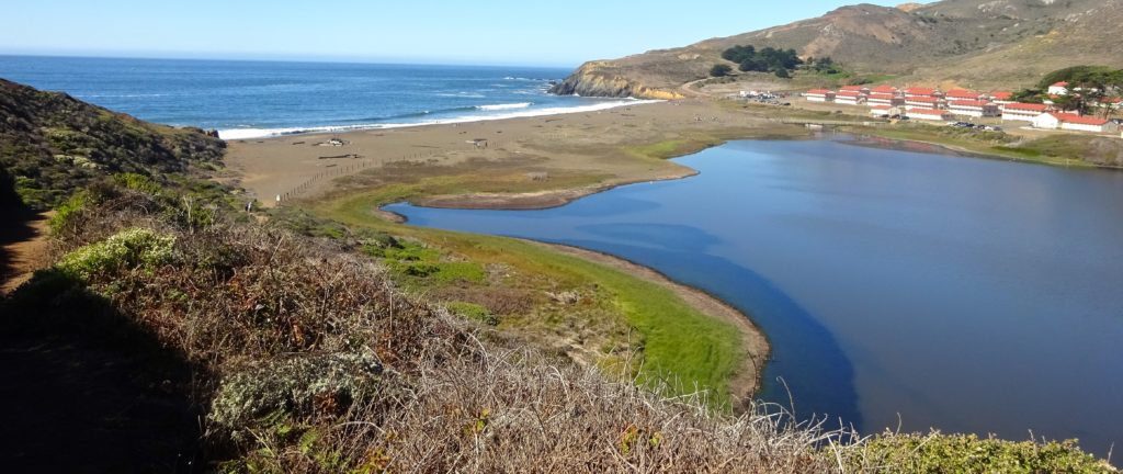
Photo ops abound in shorebirds’ natural habitat.
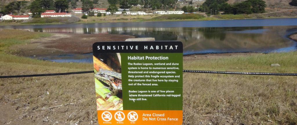
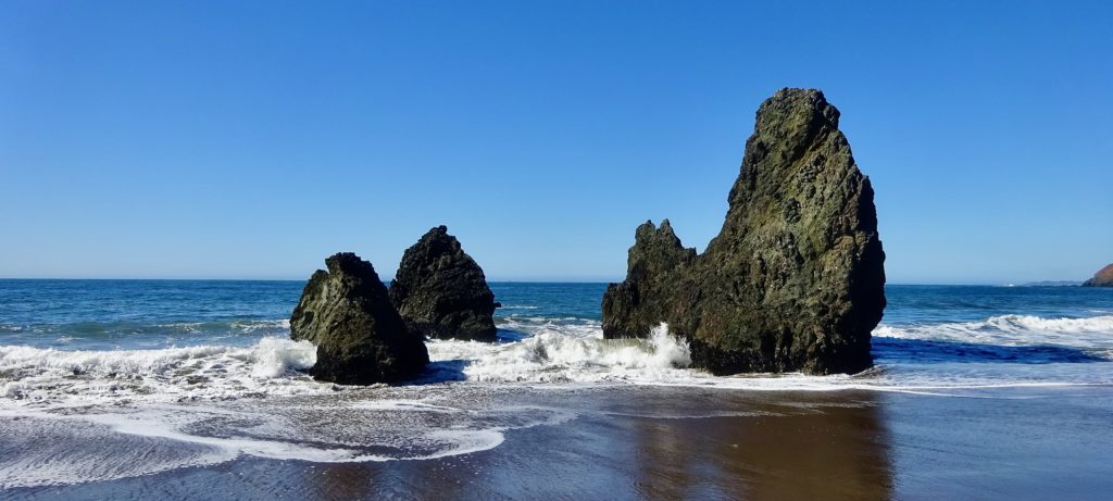
Egrets, blue herons, ducks, and other wildfowl inhabit the oval-shaped Rodeo Lagoon. The 1.5-mile, well-maintained loop trail rings the inlet, marked on its eastern curve by the Marin Headlands Visitor Center; on its western shore lies windswept Rodeo Beach. The trail briefly rises as it skirts a portion of the lagoon’s southern bank, but for the most part the terrain is flat. You can park at either the center or the beach.

Rodeo Lagoon Trail Tips
Tips: Pick up the trail at the west end of the visitor center’s parking lot (to the right of the restrooms). Displays at the center will help you identify native flora and fauna along the trail.
Rodeo Lagoon Trail Details
Difficulty level: Easy.
Why locals love it: Bird-watching; photo ops; mellow.
Cut to the chase: Park at the beach or the visitor center and walk a small portion of the trail.
Reward yourself: Head to downtown Sausalito for ice cream at Lappert’s (two locations on Bridgeway) or Fort Baker for a cocktail at Farley Bar at Cavallo Point.

Getting Here
By Car
The easiest way to visit the headlands is by car.
If heading north from San Francisco: Just after crossing the Golden Gate Bridge, take the Alexander Avenue exit, continuing right at the fork for a quarter mile before turning left onto Bunker Road. The tunnel under the freeway is one lane; the wait for cars going in your direction usually isn’t more than 10 minutes. The visitor center (follow signs) is about 3 miles from the tunnel entrance, and the beach is about a mile farther.
If heading south on U.S. 101 from anywhere in Marin: Take the Alexander Avenue exit (the last one before the Golden Gate Bridge) and immediately turn right, following the brown sign that reads Marin Headlands Tunnel Route. You’ll make the same left turn described above off Alexander Avenue to Bunker Road before passing through the one-lane tunnel and continuing to the visitor center or the beach.
Info
Trailhead
948 Fort Barry, Sausalito 94965
More Hikes Locals Love
Abbotts Lagoon
Battery Mendell to Battery Townsley
Coastal Trail to Bass Lake and Alamere Falls
Coastal, Wolf Ridge, Miwok Trails Loop
Dipsea Trail
East Peak Mount Tamalpais
Mount Tamalpais Muir Woods Loop
Olompali State Park
Rodeo Lagoon to Point Bonita Lighthouse
Roy’s Redwoods Open Space Preserve
Steep Ravine to Matt Davis Loop
Tennessee Valley
Tule Elk Preserve
This story first appeared online in 2017; it was fact-checked and updated in 2020.

Pingback: Great Marin County Hikes – Daniel Mangin
Pingback: Great Marin County Hikes – Abbotts Lagoon – Daniel Mangin