Start near the water or in the forest for views of ocean and redwoods.
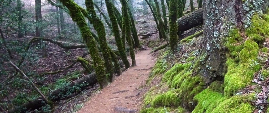
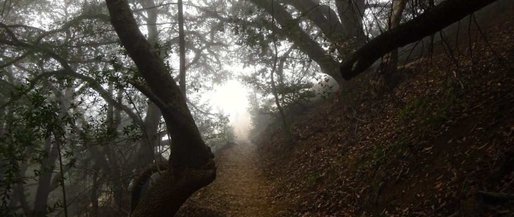
A major crowd-pleaser and deservedly so, this 7.3-mile loop begins in Stinson Beach and heads inland 1,600 feet in elevation into Mount Tamalpais State Park before returning to town. Get going just south of Stinson, following the Dipsea Trail for 1.2 miles before joining the Steep Ravine Trail. Before heading into an impressive redwood forest, the latter trail winds through woods of Douglas fir and California laurel and chaparral-laden fields with expansive views of Stinson to the north and San Francisco to the south.

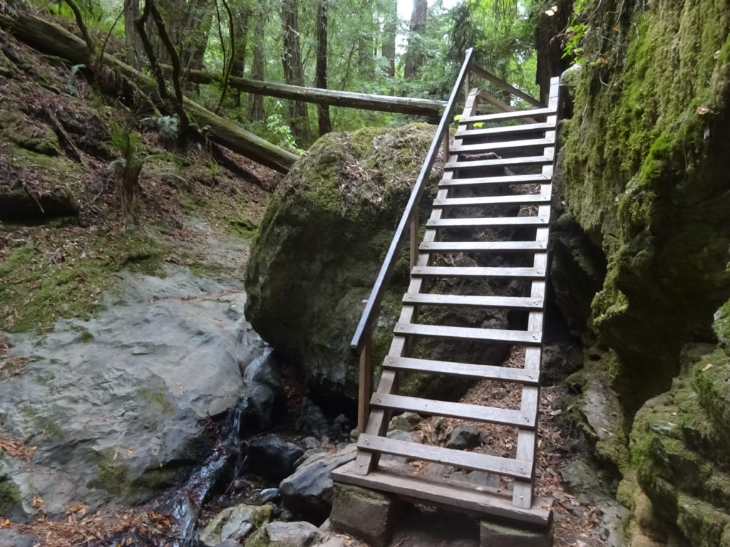
At one point you’ll have to scale a 10-foot or so wooden ladder (lead photo) to continue. If your spirit is flagging, divert yourself with the thought that in the 1950s the Beat poet Gary Snyder and novelist Jack Kerouac descended its one of its predecessors heading in the other direction. (Snyder was helping Kerouac detox; hopefully, you’ll just be on the trail for the fun of it.)
Break, Then Onward
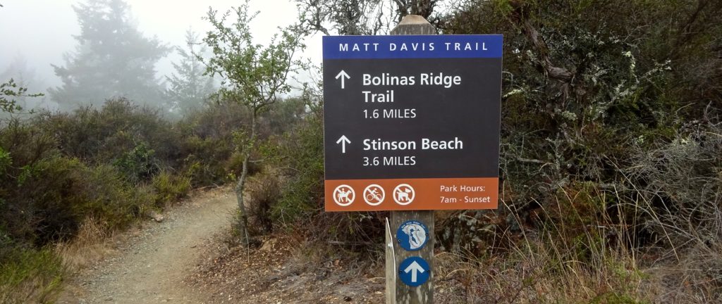
Near the Pantoll Campground, off Panoramic Highway, you can take a well-earned break before accessing, across the street from the ranger station’s parking lot, the Matt Davis Trail to loop back, mostly downhill, to Stinson.

Steep Ravine and Matt Davis Details
Difficulty level: Moderate.
Why locals love it: Stairmaster with a view; mix of coastal and redwood views.
Cut to the chase: To bask briefly in the redwoods, park in the Pantoll Campground parking lot (from Highway 1 in either Stinson Beach or Mill Valley, take Panoramic Highway) and head south for a mile into Steep Ravine and then double back.
Reward yourself: Relax for a spell at the Parkside Cafe.

Getting Here
From U.S. 101 in either direction, take the Highway 1 North / Stinson Beach exit (445B) and follow the road (also signed as Shoreline Highway) for 12.5 miles. Park in the lot for Stinson Beach.
Note: You can also park at Pantoll and do this hike in reverse (Matt Davis down to Stinson Beach and back up Steep Ravine to Pantoll), or start in Stinson Beach with Matt Davis, accessed up Belvedere Street from the fire station, and return from Pantoll via Steep Ravine. Whichever route you choose, come early on fine-weather weekends to score parking and avoid the hordes.
Info
Trailhead (Dipsea Trail)
Hwy. 1 across from Arenal Ave., Stinson Beach 94970
More Hikes Locals Love
Abbotts Lagoon
Battery Mendell to Battery Townsley
Coastal Trail to Bass Lake and Alamere Falls
Coastal, Wolf Ridge, Miwok Trails Loop
Dipsea Trail
East Peak Mount Tamalpais
Mount Tamalpais Muir Woods Loop
Olompali State Park
Rodeo Lagoon to Point Bonita Lighthouse
Rodeo Lagoon Trail Loop
Roy’s Redwoods Open Space Preserve
Tennessee Valley
Tule Elk Preserve
