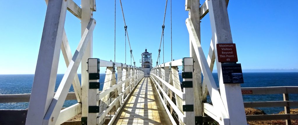
The city and coastal views are breathtaking at Marin County’s southernmost point.
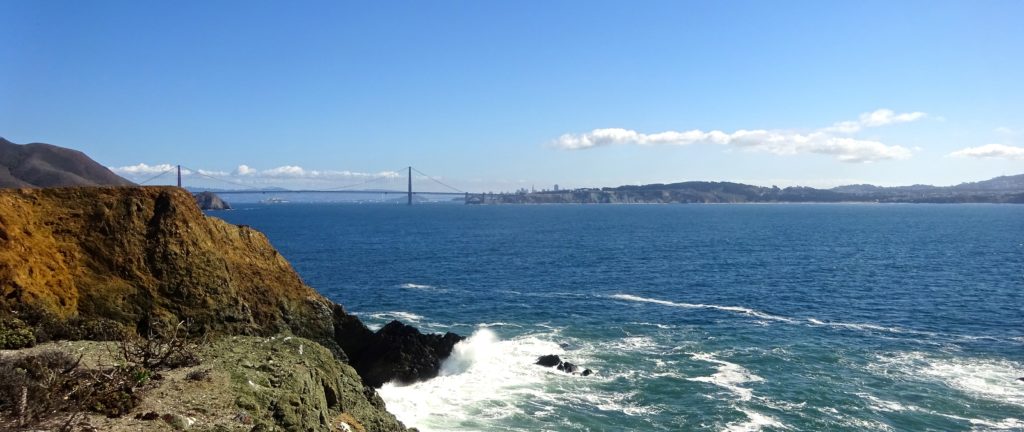
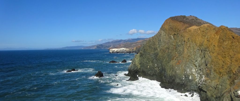
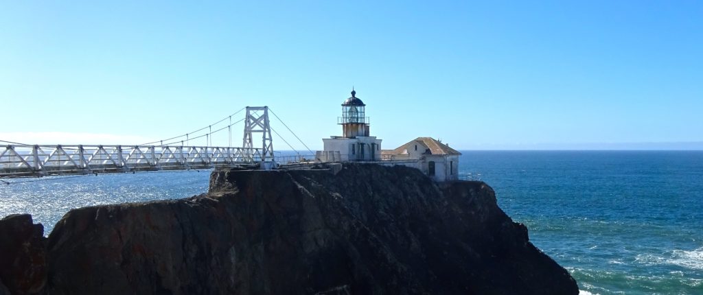
Distinctive rust-colored algae surrounds the entrance to the hand-dug rock tunnel that leads to the 19th-century Point Bonita Lighthouse, open for touring on Sundays and Mondays. After you exit the short tunnel, a disarmingly springy suspension bridge delivers visitors to the desolate rocky spot on which the white painted-brick structure sits. You can enter the bottom of the lighthouse, but the top, which holds a large Fresnel lens, isn’t open to the public. For most visitors, though, the views of San Francisco, the Golden Gate (bridge and strait), the headlands, and up the Marin coastline are the real treat. If you’re a shutterbug, make sure you’ve got ample battery power and memory – breathtaking Point Bonita is a major photo op.
Still Active
The 1877 lighthouse replaced one built in 1855, a few years after the California gold rush began. High on a nearby ridge, the earlier lighthouse was so often enveloped by fog that ship captains couldn’t make out its light. Still active as a lighthouse and maintained by the U.S. Coast Guard, the current edition is open between 12:30 pm and 3:30 pm on Sundays and Mondays. There’s no fee for these afternoon visits; evening tours expected to resume in mid-spring 2022 cost $16 for adults, with discounts for seniors and children under age 16. Exhibits on the ground floor describe the light’s history, including the many shipwrecks caused by fog, shallow sandbars, hidden rocks, and other hazards. The walk back up from the lighthouse, though short (less than a half mile), is steep.
Getting Here
The Point Bonita Lighthouse trailhead begins at the southern end of Field Road.
By Car
If heading north from San Francisco: Just after crossing the Golden Gate Bridge, take the Alexander Avenue exit, and turn left at the first opportunity. (As you make the left turn, you’ll see signs for the Marin Headlands coastal and tunnel routes. Follow the one for the coastal route.) After you pass under U.S. 101, you’ll be heading south back toward the bridge. Conzelman Road is the last road before the bridge. Take the right fork and head up the hill, stopping as you wish at one or more of the vista points.
Conzelman Road becomes one-way after Hawk Hill; follow it to Field Road and make a left when you see the sign for Point Bonita Lighthouse. There’s a small parking lot near the trailhead. If it’s full, backtrack up Field Road to the larger Battery Alexander parking lot.
If heading south on U.S. 101 from anywhere in Marin: Take the Alexander Avenue exit (the last one before the Golden Gate Bridge) and immediately turn left, following the brown sign that reads Marin Headlands Coastal Route. In a hundred or so feet, head west (right) up Conzelman Road, and continue as above.
Itinerary
Point Bonita Lighthouse appears in Scenic Marin Headlands Escape.
Great Marin County Hikes
Abbotts Lagoon
Battery Mendell to Battery Townsley
Coastal, Wolf Ridge, Miwok Trails Loop
Mount Tamalpais Muir Woods Loop
Rodeo Lagoon to Point Bonita Lighthouse
Rodeo Lagoon Trail Loop
Roy’s Redwoods Open Space Preserve
Tule Elk Preserve
This story first appeared online in 2017; it was fact-checked and updated in 2022.
